Weather Alert in Washington
Winter Weather Advisory issued February 22 at 2:44PM PST until February 23 at 1:00PM PST by NWS Pendleton OR
AREAS AFFECTED: Upper Slopes of the Eastern Washington Cascades Crest
DESCRIPTION: * WHAT...Snow. Additional snow accumulations up to 14 to 20 inches above 5000 ft. Accumulations of 4 to 8 inches around the Pass Levels. * WHERE...Upper Slopes of the Eastern Washington Cascades Crest. * WHEN...Until 1 PM PST Monday. * IMPACTS...Relatively warmer road surface temperatures will limit the impacts during the daytime hours as snow can melt of the most heavily traveled highways. Periods of moderate to heavy snowfall rates will create slick roads creating very difficult driving conditions at night.
INSTRUCTION: Slow down and use caution while traveling. The latest road conditions can be obtained by visiting the website wsdot.wa.gov/travel.
Want more detail? Get the Complete 7 Day and Night Detailed Forecast!
Current U.S. National Radar--Current
The Current National Weather Radar is shown below with a UTC Time (subtract 5 hours from UTC to get Eastern Time).

National Weather Forecast--Current
The Current National Weather Forecast and National Weather Map are shown below.

National Weather Forecast for Tomorrow
Tomorrow National Weather Forecast and Tomorrow National Weather Map are show below.

North America Water Vapor (Moisture)
This map shows recent moisture content over North America. Bright and colored areas show high moisture (ie, clouds); brown indicates very little moisture present; black indicates no moisture.

Weather Topic: What are Hole Punch Clouds?
Home - Education - Cloud Types - Hole Punch Clouds
 Next Topic: Mammatus Clouds
A hole punch cloud is an unusual occurrence when a disk-shaped
hole appears in a cirrostratus, cirrocumulus, or altocumulus cloud.
When part of the cloud forms ice crystals, water droplets in the surrounding area
of the cloud evaporate. The effect of this process produces a large elliptical
gap in the cloud. The hole punch cloud formation is rare, but it is not specific
to any geographic area.
Other names which have been used to describe this phenomena include fallstreak hole,
skypunch, and cloud hole.
Next Topic: Mammatus Clouds
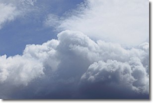
Weather Topic: What are Nimbostratus Clouds?
Home - Education - Cloud Types - Nimbostratus Clouds
 Next Topic: Precipitation
A nimbostratus cloud is similar to a stratus cloud in its formless,
smooth appearance. However, a nimbostratus cloud is darker than a stratus cloud,
because it is thicker.
Unlike a stratus cloud, a nimbostratus cloud typically brings with it the threat
of moderate to heavy precipitation. In some cases, the precipitation may evaporate
before reaching the ground, a phenomenon known as virga.
Next Topic: Precipitation
Current conditions powered by WeatherAPI.com


